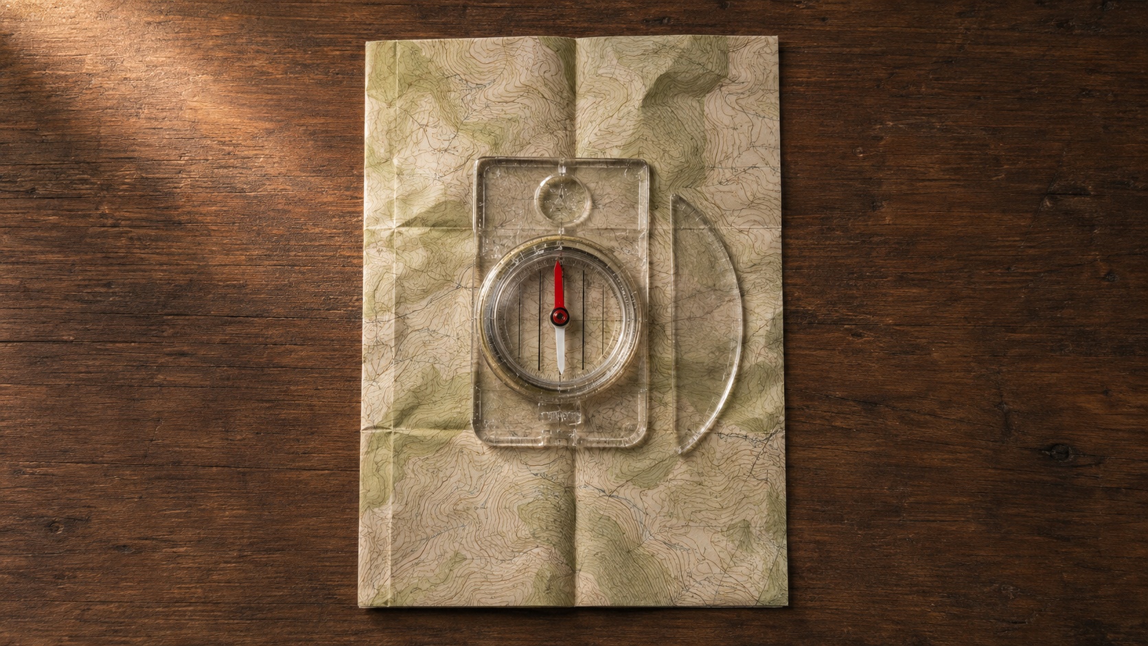
Compass work runs on two different numbering systems and most people never realize it until they need to translate between them. Old-school orienteering, marine navigation, and civilian hiking often express directions as quadrant bearings, meaning N 45° E or S 30° W. Military land navigation, tactical planning, and modern digital compass systems use azimuths measured in a single 0 to 360 degree circle from due north around the earth to any point on the map.
Both are correct. Both describe the same directions between two points, whether you are shooting an azimuth from one landmark to another or plotting a location using latitude and longitude on a paper topographic map. But the moment you need to translate a bearing from an old topographic map into an azimuth for your lensatic compass, or read a modern GPS heading in azimuth format and communicate it to a partner working with a baseplate compass in quadrant bearings, you need this conversion. Doing the math in your head at hour four of a hike is a good way to end up walking in the wrong direction.
Use the interactive calculator below to convert in either direction and to calculate back azimuths for return legs and cross-checks.
What Is the Difference Between a Bearing and an Azimuth?
Both bearings and azimuths describe compass directions. The difference is how they express those directions numerically.
A quadrant bearing uses the four cardinal directions (North, South, East, West) as reference points and describes a direction as an angle measured from north or south toward east or west. N 45° E means the direction that lies 45 degrees east of due north. S 30° W means the direction that lies 30 degrees west of due south. The system uses angles between 0 and 90 degrees, always paired with two cardinal letters. This is the traditional format used in surveying, marine navigation, older topographic maps, and civilian orienteering.
An azimuth measures direction as a single angle from 0 to 360 degrees, always starting at due north and moving clockwise. Due east is 90 degrees. Due south is 180 degrees. Due west is 270 degrees. The system is faster to read, easier to communicate over radio, and matches how digital compasses, GPS devices, and military lensatic compasses display heading information.
The two systems describe identical directions in different notation. N 45° E and 045° azimuth point to the exact same place on the ground. The math to convert between them is straightforward but easy to get wrong under stress, which is why calculators like this one exist.
When to Use Each System
Use quadrant bearings when:
- Reading older maps and survey documents
- Communicating with traditional orienteering competitors
- Working with marine navigation charts
- Reading property deeds and land survey records
Use azimuths when:
- Working with a lensatic compass or modern baseplate compass
- Reading GPS device headings
- Coordinating with military or tactical partners
- Planning routes on modern digital mapping software
- Any situation where speed and clarity of communication matter
Most modern outdoor education has shifted toward azimuths as the default because they eliminate the two-letter ambiguity of quadrant bearings and match every digital device the average hiker uses. But the older system is still deeply embedded in printed maps, land records, and traditional teaching materials. Serious navigators need to be fluent in both.
Azimuths, Coordinates, and Real-World Position
An azimuth by itself only tells you which direction to face. It does not tell you where you are. To turn a direction into a route you can actually walk, you need to combine an azimuth with a known starting position (given as coordinates in latitude and longitude, MGRS, or UTM) and a distance in meters, kilometers, or miles.
That combination (position + azimuth + distance) is the foundation of every navigation calculation from the simplest map-and-compass route between two points to the most sophisticated ballistic firing solution. Get any of the three inputs wrong and you end up in the wrong place. This calculator handles the direction portion cleanly. The coordinate portion lives in the MGRS and Lat/Long converter (coming soon). The distance portion lives in the pace count calculator (coming soon) for walking, or a ballistic tool for shooting.
For every navigation problem you will face on the ground, the same three-part logic applies: know where you are, know which direction the objective is, know how far to travel. Miss any of them and you are wandering.
How to Use This Calculator
The calculator above has three modes accessed by the tabs at the top. Pick the mode that matches what you need.
Bearing to Azimuth
Use this mode when you have a quadrant bearing (like N 45° E) and need to convert it to an azimuth (like 045°). Select the first direction (N or S), enter the angle in degrees, and select the second direction (E or W). The azimuth result appears immediately below the inputs.
Example inputs and outputs:
- N 45° E converts to 45°
- S 30° W converts to 210°
- N 20° W converts to 340°
- S 60° E converts to 120°
Azimuth to Bearing
Use this mode when you have an azimuth (like 240°) and need to convert it to a quadrant bearing (like S 60° W). Enter the azimuth as a single number between 0 and 360, and the calculator returns the quadrant bearing formatted with the correct cardinal letters and angle.
Example inputs and outputs:
- 045° converts to N 45° E
- 135° converts to S 45° E
- 225° converts to S 45° W
- 315° converts to N 45° W
Back Azimuth
Use this mode when you have an azimuth and need the reciprocal direction (the direction to walk back the way you came, or the direction from which someone would be walking toward you). Enter the azimuth, and the calculator adds or subtracts 180 degrees to return the back azimuth.
Example inputs and outputs:
- 045° back azimuth is 225°
- 180° back azimuth is 0° (due north)
- 270° back azimuth is 90°
What Is a Back Azimuth and When Do You Need One?
A back azimuth is the direction exactly opposite of a given azimuth. If you are walking on a bearing of 060°, your back azimuth is 240°. That is the direction someone walking behind you sees when they look back along your track. It is also the direction you would need to walk to return exactly to your starting point.
Back azimuths matter in three specific field situations.
Return navigation. When you plan a route that requires backtracking (a scouting run, a supply cache retrieval, a reconnaissance loop), knowing your back azimuth lets you retrace your steps without needing to recalculate everything from your destination. Read your azimuth out, walk it, and when you need to return, walk the back azimuth.
Bearing cross-checks with a partner. Two navigators shooting bearings on the same landmark from different positions can triangulate a location if each of them takes an azimuth and communicates it. The back azimuths from each position intersect at the landmark. This is a fundamental land navigation technique for verifying map position when GPS is unavailable or unreliable.
Escape route planning. In tactical or emergency contexts, knowing back azimuths in advance means you can leave a location in a hurry without needing to think. If your primary route in was on azimuth 090°, your immediate escape route is 270°. Pre-calculated back azimuths remove one decision from a moment when you cannot afford to make mistakes.
The math is simple: for azimuths below 180 degrees, add 180. For azimuths above 180 degrees, subtract 180. But doing it in your head while cold, tired, or under time pressure invites errors. The calculator handles it in one input.
Common Mistakes When Converting Bearings and Azimuths
Four errors account for most navigation mistakes when converting between systems. All of them are avoidable with a checklist mindset.
Forgetting to Adjust for Declination
Magnetic declination is the angle between magnetic north (where your compass needle points) and true north (the actual North Pole). It varies by location, sometimes by 10 or 20 degrees, and it drifts a few tenths of a degree each year. Your compass reads magnetic. Most maps show true north. Converting a bearing without accounting for declination in your area produces a route that ends up systematically off target.
Before you convert a bearing to an azimuth or plot an azimuth on a map, adjust for declination. Add easterly declination when going from magnetic to true, subtract when going from true to magnetic. The mnemonic "East is least, west is best" reminds you which direction to add.
The pace count calculator (coming soon) and the declination calculator (coming soon) will slot into the same land navigation series as this one. For a foundational primer on the whole system, see the compass tutorial.
Confusing Magnetic and True Azimuth
Related to declination but worth separating. A magnetic azimuth of 090° and a true azimuth of 090° do not point to the same place unless declination in your area is zero. When you communicate a heading to a partner, always specify magnetic or true. When you read a bearing off a map, confirm whether the map is oriented to true north or magnetic north. Most modern topographic maps are true. Most compasses read magnetic. Assume nothing.
Quadrant Bearing Direction Errors
The two-letter format of quadrant bearings (N 45° E, S 30° W) is where many conversion errors happen. It is easy to write N when you mean S, or E when you mean W, especially when transcribing from a map or writing under pressure. Always double-check both cardinal letters before converting.
The four quadrants map to azimuth ranges predictably:
- NE quadrant (N to E) covers azimuths 0° to 90°
- SE quadrant (S to E) covers azimuths 90° to 180°
- SW quadrant (S to W) covers azimuths 180° to 270°
- NW quadrant (N to W) covers azimuths 270° to 360°
If your converted azimuth does not land in the right range, you probably swapped a cardinal letter.
0° and 360° Confusion
Due north can be written as either 0° or 360° depending on convention. Both mean the same direction. Most navigation systems use 0° for the starting point and 360° for the completion of a full circle. Some digital compasses display 360° instead of 0°. This calculator treats them as equivalent. But in field communication, agree with your partner on which convention you are using so a heading of 000° does not get mistaken for a mistake.
Bearing and Azimuth Calculator FAQ
How do you convert a bearing to an azimuth?
Depends on which quadrant the bearing is in. For N ° E bearings, the azimuth equals the bearing angle. For S ° E, subtract from 180. For S ° W, add 180. For N ° W, subtract from 360. The calculator above handles all four cases automatically. Enter the quadrant bearing and the azimuth appears.
How do you convert an azimuth to a bearing?
For azimuths 0° to 90°, the bearing is N (azimuth)° E. For 90° to 180°, the bearing is S (180 minus azimuth)° E. For 180° to 270°, the bearing is S (azimuth minus 180)° W. For 270° to 360°, the bearing is N (360 minus azimuth)° W. The calculator formats the output automatically with the correct cardinal letters.
What is the difference between azimuth and bearing?
An azimuth is a single number from 0° to 360° measured clockwise from north. A bearing (in quadrant form) is expressed as two cardinal letters and an angle between 0° and 90°, like N 45° E. Both describe the same direction. Azimuth is the modern default. Quadrant bearings are still common in older maps, surveying, and marine navigation.
How do I calculate a back azimuth?
Add 180° to the original azimuth if it is under 180°. Subtract 180° if it is 180° or greater. So 060° back azimuth is 240°. 200° back azimuth is 020°. Use the third mode of the calculator above to do this without mental math.
Can I use this calculator for marine navigation?
Yes. The math is the same for land or marine navigation. However, marine navigation traditionally uses relative bearings from the ship's heading rather than absolute bearings from north. This calculator handles absolute bearings and azimuths. For relative bearings, you need to add or subtract your current heading to convert.
Do I need to adjust for magnetic declination?
The calculator does not adjust for declination. It converts between bearings and azimuths as raw numbers. If your source bearing or azimuth is magnetic and you need a true value (or the other way around), adjust for your local declination separately before or after using this calculator.
Where This Calculator Fits in Land Navigation
This is the second tool in the AlphaSteward outdoor calculator collection, after the ongoing land navigation series. It pairs directly with the compass primer, the eventual magnetic declination calculator, and the pace count calculator. Together, they form a working toolkit for anyone who navigates with map and compass and refuses to depend on GPS batteries.
For the foundational skills that make this calculator useful in the field, read the step-by-step compass tutorial. For the broader collection of outdoor tools as they roll out, the outdoor calculators hub is the entry point.
Bookmark this page. When you are out on the ground and need a fast conversion, having it one tap away in your phone browser is worth more than trying to remember the quadrant math while wet, cold, and running low on daylight.
About the Author